Last weekend I ran a 19 miler, so I took along my camera to collect some images of this scenic route from Fleet Activities Yokosuka (upper left on map) to Kannonzaki (far right on map) and back.
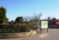
Having done a loop and a half on the base first, I welcomed this park and water/head stop at the nine mile point:
A runner always notices restaurants:

 Fishing inlet and interesting sign.
Then I run along the bay by Maborikaigan, and up the hill to more.....restaurants.

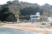
Top of the hill, look back over the Bay, then down a steep hill (that will be a steep climb on return leg) to an idyllic fishing cove:
Almost to the turnaround:
Hang a left down to the boardwalk in front of Keikyu Kannonzaki Hotel and SPASSO spa:
Around the bend the Kannonzaki Lighthouse comes into view:
A short run to the Rest Stop and turnaround at the water stop/head:

Next Post: Inbound leg and a most unexpected onlooker.


No comments:
Post a Comment